Our Patents
Patent NH-2025-01
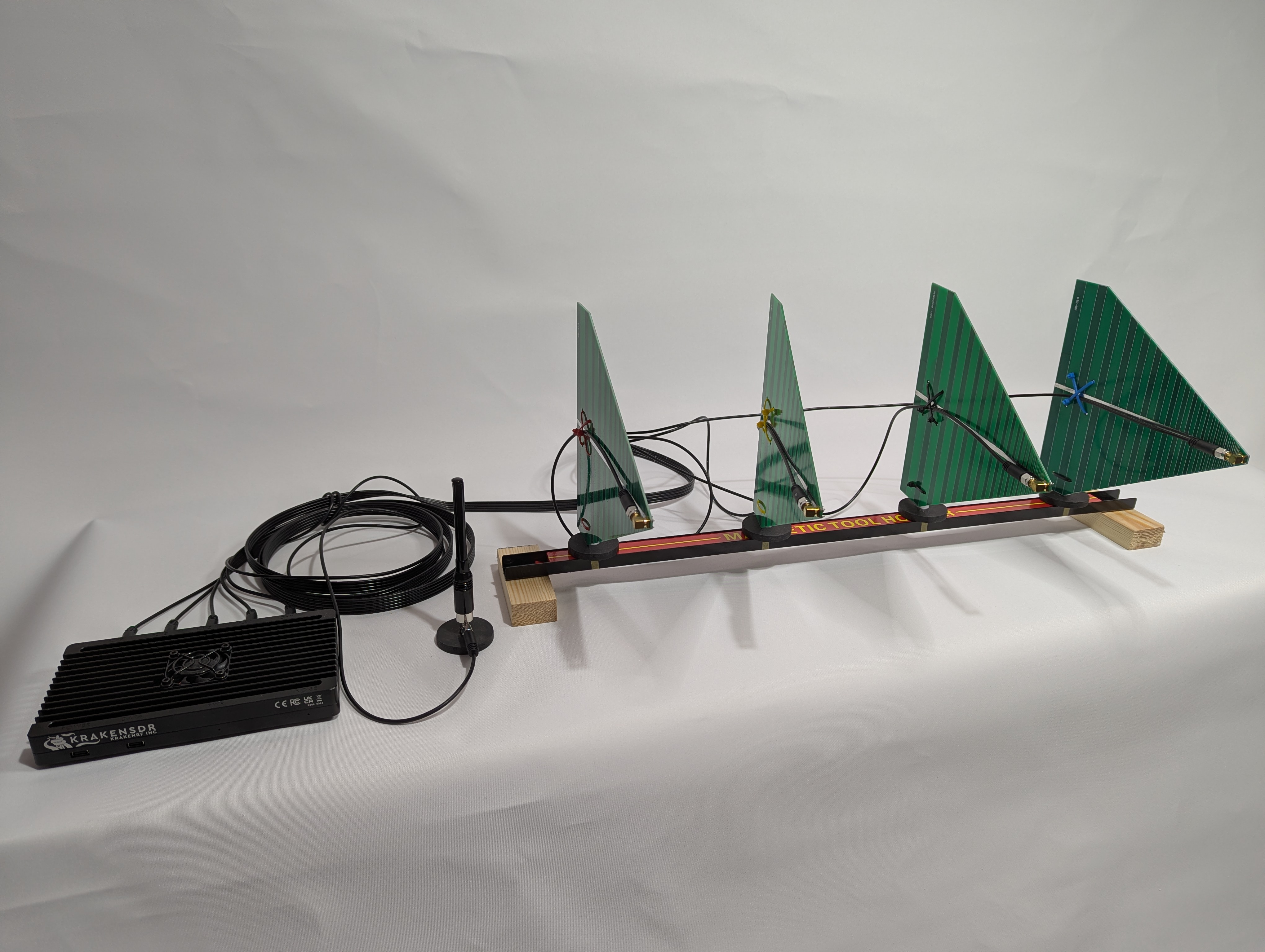
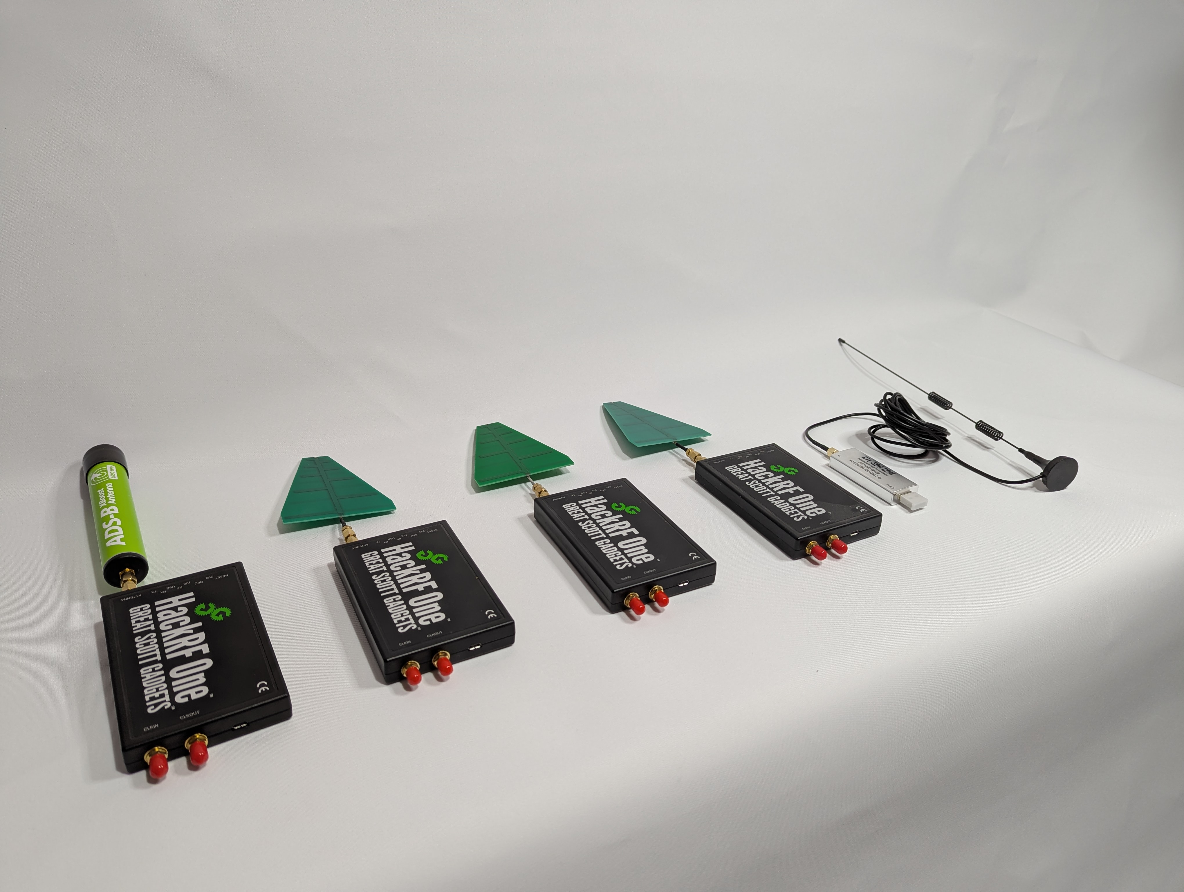
This invention addresses the problem of detecting, mapping and monitoring features on the ground, below ground level and within man-made structures. We use measurements from a variety of sensor types and fuse the images generated from the data into a single combined image of the scenario. Computer-simulated equivalent images are generated using physical models of the sensors and the transmission paths to the detectors for comparison with the measured images. The objective of gathering such data is to assess the safety, security and exploitability of the engineered terrain and man-made structures to identify changes in these important factors over time.
For further information on this patent, a non-disclosure agreement will be necessary. Please use the details provided on the contact page to apply.